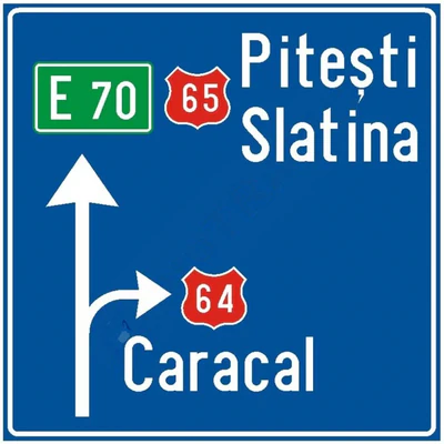
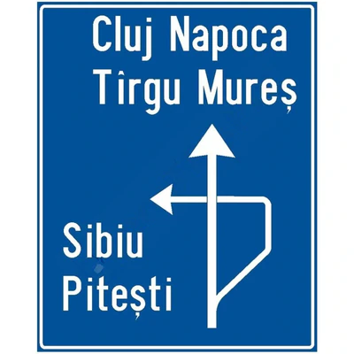
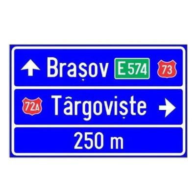
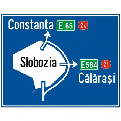
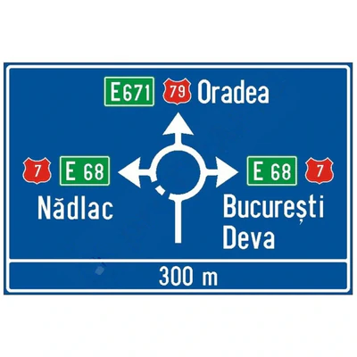
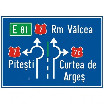
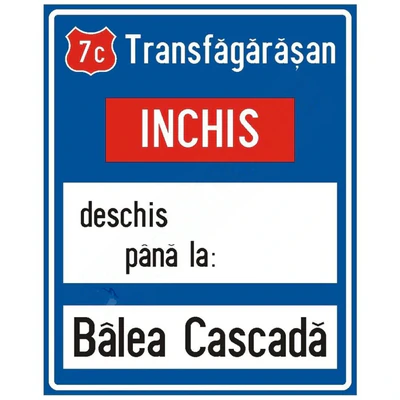
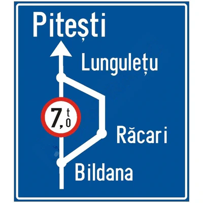
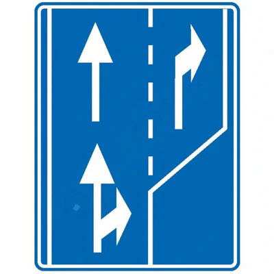
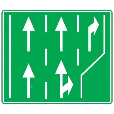
Indicator F46 – signalling the administrative limit
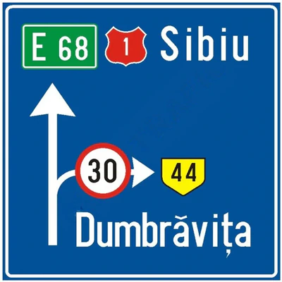
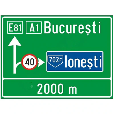
Indicator F46 complements road guidance systems and provides information on cross-jurisdictional crossings.
Recommended for:
- national roads;
- roadways;
- motorways;
- administrative limit;
- Permanent signalling projects.
Benefits:
- identification of territorial boundaries;
- clear guidance in traffic;
- additional information for traffic participants;
- integration into road infrastructure.
What Traffic Participants Need to Know
Indicator F46 Mark the administrative boundary between two counties and inform about the change in the territorial area.
Traffic participants may use the information displayed to guide and identify the route.
Construction and execution
Product manufactured for permanent road infrastructure:
- execution according to project;
- Custom configuration;
- adaptation after registration and location;
- resistance for external use.
Mounting system
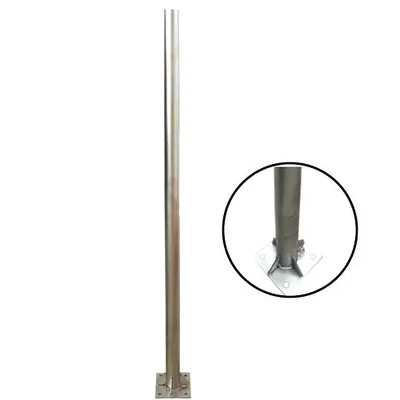
The indicator shall be carried out together with the fixing systems compatible with the solution provided for in the project.
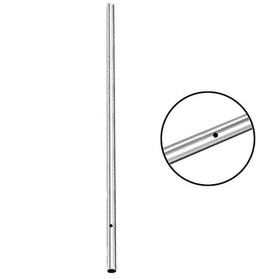
The supporting metal structure shall be established separately.
Manufactured in accordance with STAS 1848/2024
Documentation available:
- EC type-approval;
- a declaration of conformity;
- Declaration of performance.
Commercial benefits
- Road sign F46
- Project execution
- Customizable Configuration
- Adaptation after registration and location
- Permanent use
- Compatible with road infrastructure
- Manufactured in accordance with STAS 1848/2024
See also:
Product categories
Road products
Services
FAQ
What does indicator F46 indicate?
Indicator F46 indicates the administrative boundary between the counties.
Does the indicator have standard dimensions?
No, no. The dimensions shall be determined according to the design and the content of the indicator.
Can you customize it?
Yeah. The configuration and the inscriptions shall be established in accordance with the requirements of the project.
Is the assembly structure included?
The support structure shall be established separately according to the technical solution.
Orientation Road Indicator F46 County Limit is used for marking administrative boundaries and targeting of traffic participants. The dimensions and configuration of the indicator shall be determined in accordance with the requirements of each project and the location conditions, STAS 1848/2024.